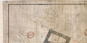
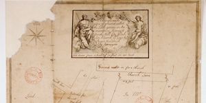
Map of the Little Green, Church Ground
Ornamentation: Fleur-de-Lis orientation with hand pointing north
Show More
CREATOR
Thomas Mathews
DATE
1768-01-01 - 1769-12-31
LANGUAGE
ITEMS
1
INSTITUTION
Dublin City Library and Archive
PROGRESS
START DATE
TRANSCRIBERS
CHARACTERS
LOCATIONS
ENRICHMENTS
METADATA
Discover Similar Stories
Map of the Little Green, Church Ground showing ground proposed for Sheriff's Jail
1 Item
Ground plan of proposed Sheriff's Jail, frontage to Green Street
Map of part of Little Green in Oxmantown belonging to the Honble City of Dublin
2 Items
For George Kennan's holding see Expired Leases 722-3
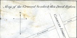
Map of the ground to which this deed refers
1 Item
Map showing location and dimensions of premises marked 'Commissioners of Revenue' on the north of Eden Quay and west side of Beresford Place. Includes details of surrounding area including location of Custom House, Lower Abbey Street, Gardiner Street, Frenchman's Lane and the River Liffey. Scale: 80 feet to an inch. Materials: Ink and water colours.