Not given
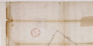
Plan of holdings north and south of Essex Street giving boundary measurements, names of occupiers and types of building. Incl. 'Line from S.E. Arch of Essex Bridge to present termination of New Liffey Wall.'
CREATOR
Arthur R. Neville
DATE
1811-01-01 - 1811-12-31
LANGUAGE
ITEMS
1
INSTITUTION
Dublin City Library and Archive
PROGRESS
METADATA
Discover Similar Stories

Not given
2 Items
Plan of Quay [later named after 1st Duke of Wellington] from Essex Bridge to watering-slip at Temple Barr showing present and intended quay wall.
Not given
1 Item
Plan of 'Stephen's Green' (sic) giving measurements of sides in yards, feet and inches and showing surrounding ditch

Not given
1 Item
Two separate surveys, marked No.1 and No.2. No.1 is a measurement of distance from Parliament House to the corner of College Street, length 28.5 feet. Annotated 'Was Surveyed Aug 14 1754 in my General Survey of the City'.