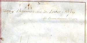
Map of Premises to which this Lease Refers
Map showing location and dimensions of premises on the east side of D'Olier Street with the Dublin Library to the north, the Methodist Chapel to the south and a 'passage in common' to the east'. Hawkins Street is also shown to the south-east. Scale: not given. Materials: Coloured ink.
CONTRIBUTOR
Sherrard, Brassington and Gale
Brassington Sherrard
Sherrard
Brassington
Dublin City Library and Archive
Gale
DATE
1831-01-01 - 1831-12-31
LANGUAGE
eng
ITEMS
1
INSTITUTION
Dublin City Library and Archive
PROGRESS
METADATA
Discover Similar Stories
Map of premises to which this Lease refers
1 Item
Map showing location and dimensions of premises on the west side of St Michaels Hill and the east side of Michaels Lane, to the north-west of Christ Church. Premises is bounded on the north and south by land let by the commissioners to Richard Bergan. Scale: 40 feet to an inch. Materials: Coloured ink.
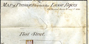
Map of premises to which this lease refers
1 Item
Map showing location and dimensions of premises on the south side of Fleet Street, bounded on the west by the Police Office and the east by land in the possession of Mr Michael Dalton. Also shows location of College Street to the south. Scale: 40 feet to an inch. Materials: Ink and water colours.
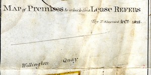
Map of Premises to which this Lease Refers
1 Item
Map showing location and dimensions of premises on the south side of Wellington Quay, to the west of Ardill Row and the north of Temple Bar, bounded by the properties of Mr Young, Alderman Beresford, the Commissioners of Wide Streets and Mr Delamar. Scale: 40 feet to an inch. Materials: Coloured ink. (Same as WSC/Dis/217/1)